Rwanda & World Bank Partner to Restore the Nyungwe–Ruhango Corridor

The Government of Rwanda has launched a five-year Nyungwe–Ruhango Corridor Restoration Project under the broader Green Amayaga Program, an ambitious effort to restore degraded landscapes while improving livelihoods.
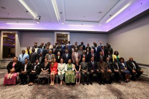
Unveiled by the Rwanda Environment Management Authority (REMA), the initiative focuses on the critical landscape connecting the Nyungwe National Park to the surrounding districts of Nyanza, Ruhango, and Nyamagabe.
By targeting this specific region, the project addresses pressing environmental threats such as soil erosion, land degradation, and biodiversity loss that have long threatened local agricultural productivity.
This new phase builds on data-driven lessons from Green Amayaga Phase I, which has already demonstrated its ability to combine environmental conservation with economic growth across the districts of Kamonyi, Ruhango, Nyanza, and Gisagara.
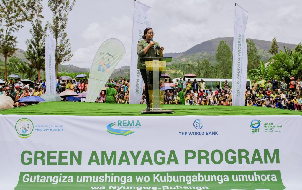
“Since the implementation of Green Amayaga project, we saw positive impacts and changes among community’s welfare in those districts.” said Juliet Kabera, Director General of REMA. “This is why we have decided to expand to more 8 sectors in the districts of Nyamagabe, Nyanza and Ruhango.”
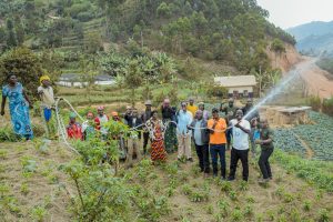
Wetlands in southern Rwanda have long been under pressure due to agricultural encroachment, poor land-use practices, and climate-related shocks. These factors have degraded ecosystems and weakened their natural ability to regulate water and prevent flooding.
One of the project’s key priorities is the restoration of degraded wetlands through the conservation of the Mwogo and Rukarara river catchments, as explained by Juliet Kabera.
“These rivers often damaged people’s farms, especially during the rainy season.” She said “The project will assist in restoring these rivers catchment so that no more soil will be carried away by erosion from the mountains while also improving their banks.”
Mutabaruka John, a resident of Nyanza District, praised the initiative, noting that it will improve agricultural activities affected by Mwogo River flooding. He explained that flooding has reduced available farmland to less than 15 hectares and significantly decreased production.
“The swamp has already been damaged by floods to the point that today we are unable to harvest even three tons of maize compared to before where we were harvesting over 30 tons.” John said.
Beyond improving agricultural yields, more than 280,000 residents in the intervention area are expected to directly benefit from the expanded Green Amayaga program over the next five years.
The project will also contribute to district economic development programs by creating jobs and enabling farmers to move beyond subsistence farming to supplying markets
“What we ask of the population is to facilitate the implementation of this project by allowing conservation activities to be carried out on their land, in order to help themselves and the future generations.” Underscored Habimana Thaddée, Vice Mayor of Nyamagabe district.
The USD 9 million mobilized for this project, supported by the Global Environment Facility (GEF) and the World Bank, is an additional fund building on Green Amayaga Phase I, which has been implemented since 2020.
For the World Bank, financing environmental protection projects in Rwanda reflects confidence in the country’s effective use of development support.

Basing on how effective was the implementation of the Green Amayaga project Phase I, Johanna Bernardini Tuuli, from the World Bank, endorsed her confidence for Rwanda attesting that “Rwanda is really a very particular partner that knows what they want, what they need and how to do it like a support.”
Among other key restoration targets for the corridor include bringing 8,931 hectares of productive landscapes under improved sustainable management, restoring 2,162 hectares of forest ecosystems and achieving a reduction of 72,926 tCO2eq in greenhouse gas emissions over the project period.
Rukarara and Mwogo River catchments feature varied and rugged terrain, with elevations ranging from 1,500 to 2,800 meters above sea level.
Predominantly rural, the region is home to a dispersed population that relies heavily on subsistence agriculture for livelihood.
About The Author

SUBSCRIBE TO OUR NEWSLETTER